Using Starlink, they identified the antenna’s location within about 7.7 meters. GPS, by comparison, generally identifies a device’s location within 0.3 and 5 meters. The team has used similar techniques with other low Earth orbit satellite constellations, but with less accuracy, pinpointing locations within about 23 meters, Kassas said. The team has also been working with the U.S. Air Force to pinpoint locations of high-altitude aircraft; they were able to come within 5 meters using land-based cellular signals, Kassas said.
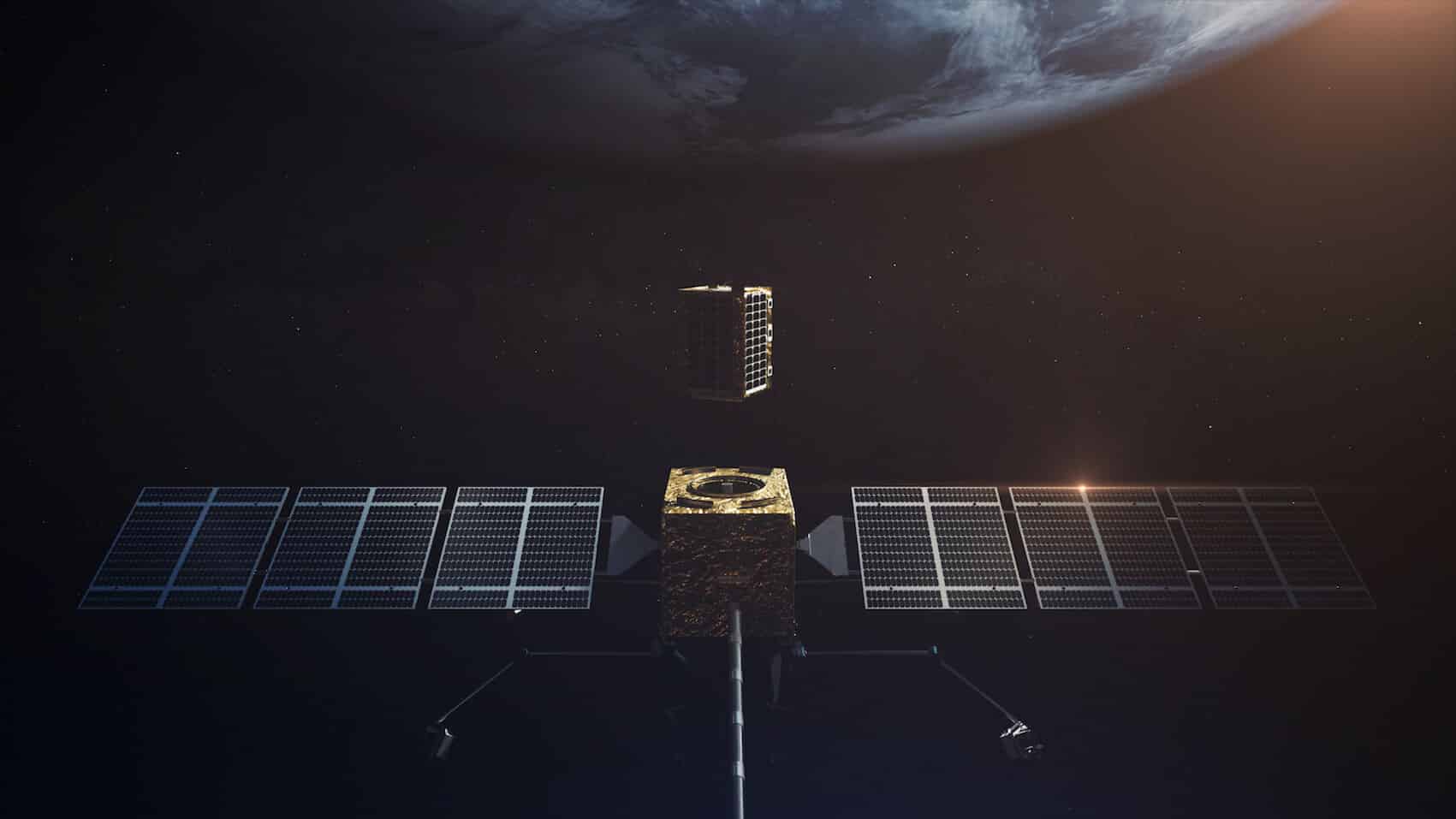
SpaceX has some 1,700 satellites in Earth’s low orbit, meaning they circle the planet about 1,200 km from Earth’s surface. SpaceX ultimately plans to launch more than 40,000 satellites. As the Starlink constellation grows, the accuracy of this navigation and geo-location technique will improve. People will be able to use Starlink’s satellites as an alternative navigation system to GPS.
They do not need to listen to Starlink signals, they just use the passive signals for location.
Different Software Modified Starlink for More GPS Accuracy
1. Use the massive data bandwidth in each broadband satellite transmission burst for up-to-the instant orbit and clock products. If such zero-age-of-ephemeris products are available, then expensive atomic clocks in LEO may be eliminated.
2. Access these orbit and clock products by performing precision orbit determination (POD) on-orbit using traditional GNSS in a multi-tier architecture. This eliminates extensive ground segment to observe satellite orbits.
3. Commercial broadband signals in K-band and Vband will have both high signal-to-noise-ratio (SNR) and large bandwidth. This greatly reduces receiver noise and multipath error in L-band GPS.
It is possible to build a (relatively) compact, highly-directional receiver phased array for an additional 30 dB of anti-jam performance.
SpaceX’s Starlink could provide continuous centimeter-accurate GPS service to 99.8% of the world’s population would require reserving at most 0.8% of system downlink capacity, 0.36% of system energy capacity, and a tiny amount of uplink capacity. This provisioning scenario would also reserve 5.3% of the constellation’s capacity for beam-steering, leading to at most a 0.1 dB increase in maximum pointing loss.
No atomic clocks would be needed.
No extensive ground station infrastructure is needed.
The GPS precision can ten times more accurate to about 0.3 to 0.6 meters or even better.
A jam resistant receiving station can be built.
Brian Wang is a Futurist Thought Leader and a popular Science blogger with 1 million readers per month. His blog Nextbigfuture.com is ranked #1 Science News Blog. It covers many disruptive technology and trends including Space, Robotics, Artificial Intelligence, Medicine, Anti-aging Biotechnology, and Nanotechnology.
Known for identifying cutting edge technologies, he is currently a Co-Founder of a startup and fundraiser for high potential early-stage companies. He is the Head of Research for Allocations for deep technology investments and an Angel Investor at Space Angels.
A frequent speaker at corporations, he has been a TEDx speaker, a Singularity University speaker and guest at numerous interviews for radio and podcasts. He is open to public speaking and advising engagements.
Note: This article have been indexed to our site. We do not claim ownership or copyright of any of the content above. To see the article at original source Click Here


