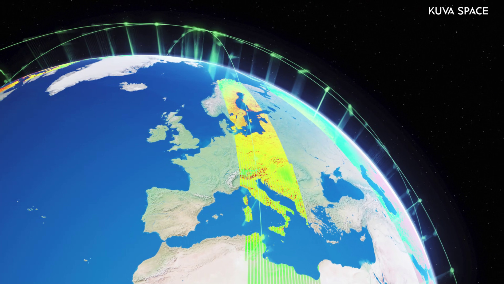
Finnish startup Kuva Space has unveiled plans to provide the US government with hyperspectral data.
A powerful technology with diverse applications, hyperspectral imagery analyses a wider light spectrum than traditional sensors. As a result, it can unravel new insights about scanned objects.
Here on Earth, the techniques have discovered artworks hidden under Picasso paintings and enhanced colours in smartphone photos. Up in space, the possibilities are almost endless.
With views across our planet, the sensors can read the spectral signatures of almost any material on Earth.
At Kuva Space, the analysis begins by launching satellites equipped with hyperspectral cameras into orbit. From their perch in the cosmos, the sensors then analyse the chemical compositions of natural and manmade materials.
Once the objects are identified, the system assesses their conditions and any changes to them.
It can also be tuned in orbit for specific use cases. The agricultural sector, for instance, can optimise the sensors to monitor crops. Defence ministries can tap the data for surveillance. Industrial sites can deploy the imagery to detect chemical leaks. In marine ecosystems, the tech can track aquatic species, water quality, and illegal fishing vessels.
Kuva Space aims to bring these applications into the mainstream.
“Our goal is to make our services more accessible to a wide range of industries and countries to combat climate change impacts more effectively,” Jarkko Antila, the CEO of Kuva Space, told TNW.
Opening access to space
Hyperspectral cameras and their supporting hardware are typically heavy payloads. To send them into space, they’re normally implemented on large satellites.
At Kuva Space, the hyperspectral satellites are slimmed down to under 30kg. The company also boasts the first-ever hyperspectral payload on a nanosatellite.
Named HelloWorld, the system was launched in 2018. Despite its diminutive size, Kuva Space said the payload’s hyperspectral data is as accurate as large scientific instruments.

Kuva Space is now developing an entire microsatellite constellation. Its inaugural member, Hyperfield-1, is scheduled to launch in June 2024. By 2030, the startup plans to have 100 satellites in orbit.
Once active, the constellation will provide insights to customers via a subscription-based model.
According to Antila, this approach is new to the Earth observation industry.
“Today’s prevalent model is pay-per-use, meaning a customer requests images with a specific specification because the data providers have limited satellites to work with,” he said.
“With 100 satellites and automatic AI-powered analytics, we can unlock continuous monitoring and alert services like no other, making information more accessible to improve decision-making.”
American dreams
As the largest market in the $85bn geospatial analytics industry, the US is an obvious target for Kuva Space. To reach it, the startup has launched a new American subsidiary, imaginatively named Kuva Space US.
Antila believes they’re entering the country at the perfect time.
“It’s true that the US market is large and highly competitive, but the reality is that there isn’t much actual competition in the market right now for hyperspectral,” he said.
“It’s a bit like SAR[[synthetic aperture radar]in early 2018. A number of satellite operators talk about having satellites, but very few actual satellites are available.”
In the long term, Antila plans to integrate other types of sensors into the satellites.
“Ultimately, we’d like to be the Bloomberg of planetary insights.”
Note: This article have been indexed to our site. We do not claim legitimacy, ownership or copyright of any of the content above. To see the article at original source Click Here


